
Navigating Conflict
The Strategic Significance and Evolution of Navigation Techniques in the Azores Islands during World War I and World War II
DOI:
https://doi.org/10.15353/acmla.n173.5691Keywords:
Azores Islands, History of Cartography, Military Cartography, World War I, World War II, Navigation TechniquesAbstract
Situated strategically in the Atlantic Ocean, the Azores Islands emerged as pivotal theaters during World War I and World War II and profoundly shaped these global conflicts through its geographic significance and technological advancements. In this paper, the evolution of navigation techniques, routes, and the strategic importance of the Azores according to the changing nature of warfare was analyzed. Through an examination of historical narratives and technological progress, insights were made into how the islands developed into critical hubs for naval and air operations. Advancements in airport infrastructure, telecommunications, and harbor facilities transformed the Azores into essential nodes for transatlantic shipping, communication networks, and surveillance in the Atlantic theater. Navigational strategies, informed by technological innovations, optimized air routes and access to strategic bases which bolstered military capabilities in both conflicts. Through the exploration of the relationship between technological progress, evolving warfare dynamics, and geopolitical significance, the enduring impact of the Azores Islands on shaping global conflicts throughout history was revealed.
References
Beier, R., & Kramer, J. (2018). A Portrait of the Azores: From Natural Forces to Cultural Identity. In U. Kueppers & C. Beier (Eds.), Volcanoes of the Azores: Revealing the Geological Secrets of the Central Northern Atlantic Islands (pp. 3–26). Springer. https://doi.org/10.1007/978-3-642-32226-6_2
Corvo and Flores: Azores 1:100,000 (1st ed.). (1942). [Topographic Map]. War Office. https://digitalarchive.mcmaster.ca/islandora/object/macrepo%3A70831
Craven, W. F. (1948). The Army Air Forces in World War II: Europe, torch to pointblank, August 1942 to December 1943. Office of Air Force History. https://books.google.ca/books?hl=en&lr=&id=l51f9ZnutCIC&oi=fnd&pg=PR1&dq=Aerial+Bombing+Accuracy+in+the+azores+in+world+war+2&ots=z1PNDgUmdy&sig=axpr8lbykMgOBxOEDqP3-SwZKgU&redir_esc=y#v=onepage&q&f=false
Daniels, J. (1922). Our Navy At War. GH Doran.
Dennis, N. (1994). Airline hub operations in Europe. Journal of Transport Geography, 2(4), 219–233. https://doi.org/10.1016/0966-6923(94)90047-7
George, P. (1922). The North Atlantic Ocean [Atlas Map]. C. S. Hammond & Company. London: George Philip & Son, Ltd. The London Geographical Institute.
Herz, N. (2014). Operation Alacrity: The Azores and the War in the Atlantic. Naval Institute Press.
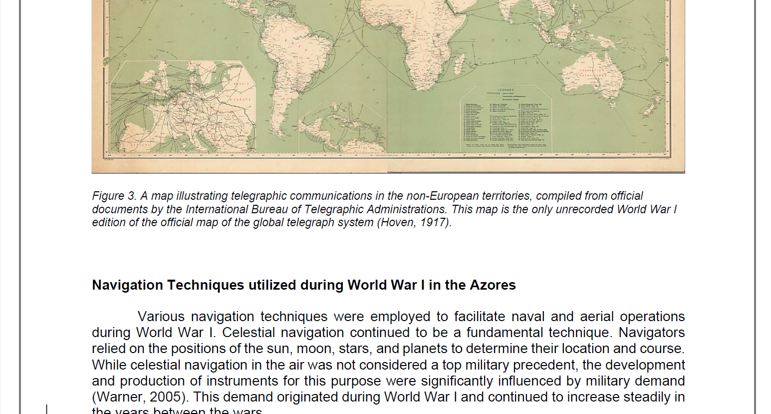
Hoven, G. V. von. (1917). Carte des communications télégraphiques du régime extra-européen dressée d’après des documents officiels par le bureau international des administrations télégraphiques. [Composite Map]. F. Lips. https://www.davidrumsey.com/luna/servlet/detail/RUMSEY~8~1~340627~90108878:Composite--Sheets-1-4-Carte-des-com?sort=Pub_List_No_InitialSort&qvq=q:atlantic%20ocean%20world%20war%201;sort:Pub_List_No_InitialSort;lc:RUMSEY~8~1&mi=4&trs=36
Hughes, T. (2020, December 3). 104 years ago torpedoes sink 3 ships in Funchal. Madeira Island News Blog. https://www.madeiraislandnews.com/2020/12/104-years-ago-torpedos-sink-3-ships-in-funchal.html
James Ford Bell Library. (n.d.). Portolan Charts—Bell Library: Maps and Mapmakers. The 1424 Nautical Chart. Retrieved March 7, 2024, from https://apps.lib.umn.edu/bell/map/PORTO/1424/index24.html
Kochis, D. (2020). Lajes Field: Why This Airbase Is Important to U.S. Strategic Interests. The Heritage Foundation, 3566. https://www.heritage.org/sites/default/files/2020-12/BG3566.pdf
Lardas, M. (2021). Battle of the Atlantic 1942–45: The climax of World War II’s greatest naval campaign. Bloomsbury Publishing.
Littleton, S. D. (2022). The Strategic Significance of the Azores. Air War College. https://apps.dtic.mil/sti/citations/AD1189478
Manstan, R. R. (2018). The Listeners: U-boat Hunters During the Great War. Wesleyan University Press.
Monteiro, A. (2022). Santa Maria Island and the Aviation in the Azores: The return of time through the inversion of space. L’aviation et Son Impact Sur Le Temps et l’espace, 51–59.
Ponce, J. (2014). Commerce Warfare in the East Central Atlantic during the First World War: German submarines around the Canary Islands, 1916–1918. The Mariner’s Mirror, 100(3), 335–348. https://doi.org/10.1080/00253359.2014.935145
Rezendes, S. (2021). The American Naval Base in Ponta Delgada, 1917–19. Marine Corps History, 7(1), 24–45.
Ribeiro de Meneses, F. (2023, May 22). Warfare 1914-1918 (Portugal) | International Encyclopedia of the First World War (WW1). International Encyclopedia of the First World War. https://encyclopedia.1914-1918-online.net/article/warfare_1914-1918_portugal
Rodrigues, L. N. (2008). Crossroads of the Atlantic: Portugal, the Azores and the Atlantic community (1943-57). European Community, Atlantic Community, 456–467.
Santos, R. L. (2011). Azoreans to California. Alley-Cass Publications. https://dspace.calstate.edu/bitstream/handle/10211.3/136646/Bob_Santos-Azoreans_To_California.pdf
Schroer, R. (2003). Navigation and landing [A century of powered flight 1903-2003]. IEEE Aerospace and Electronic Systems Magazine, 18(7), 27–36. https://doi.org/10.1109/MAES.2003.1226532
Smith, R. K. (1998). Seventy-five Years of Inflight Refueling: Highlights, 1923-1998. Air Force History and Museums Program.
van der Vleuten, E., & Kaijser, A. (2005). Networking Europe. History and Technology, 21(1), 21–48. https://doi.org/10.1080/07341510500037495
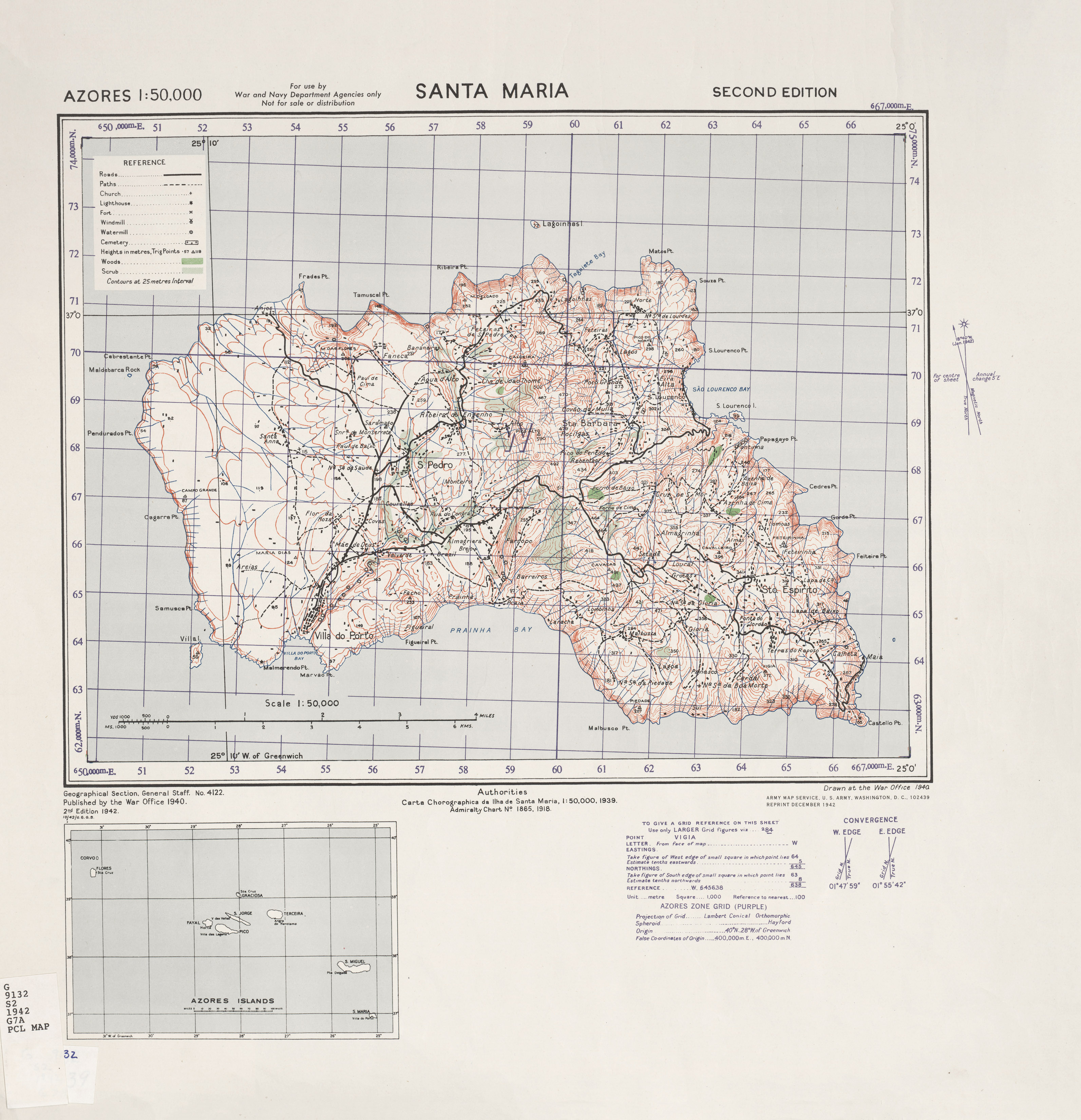
War Office. (1942). Santa Maria (2nd ed.) [Topographic Map]. U. S. Army Map Service. https://maps.lib.utexas.edu/maps/ams/azores/txu-pclmaps-oclc-6587511-santa-maria.jpg
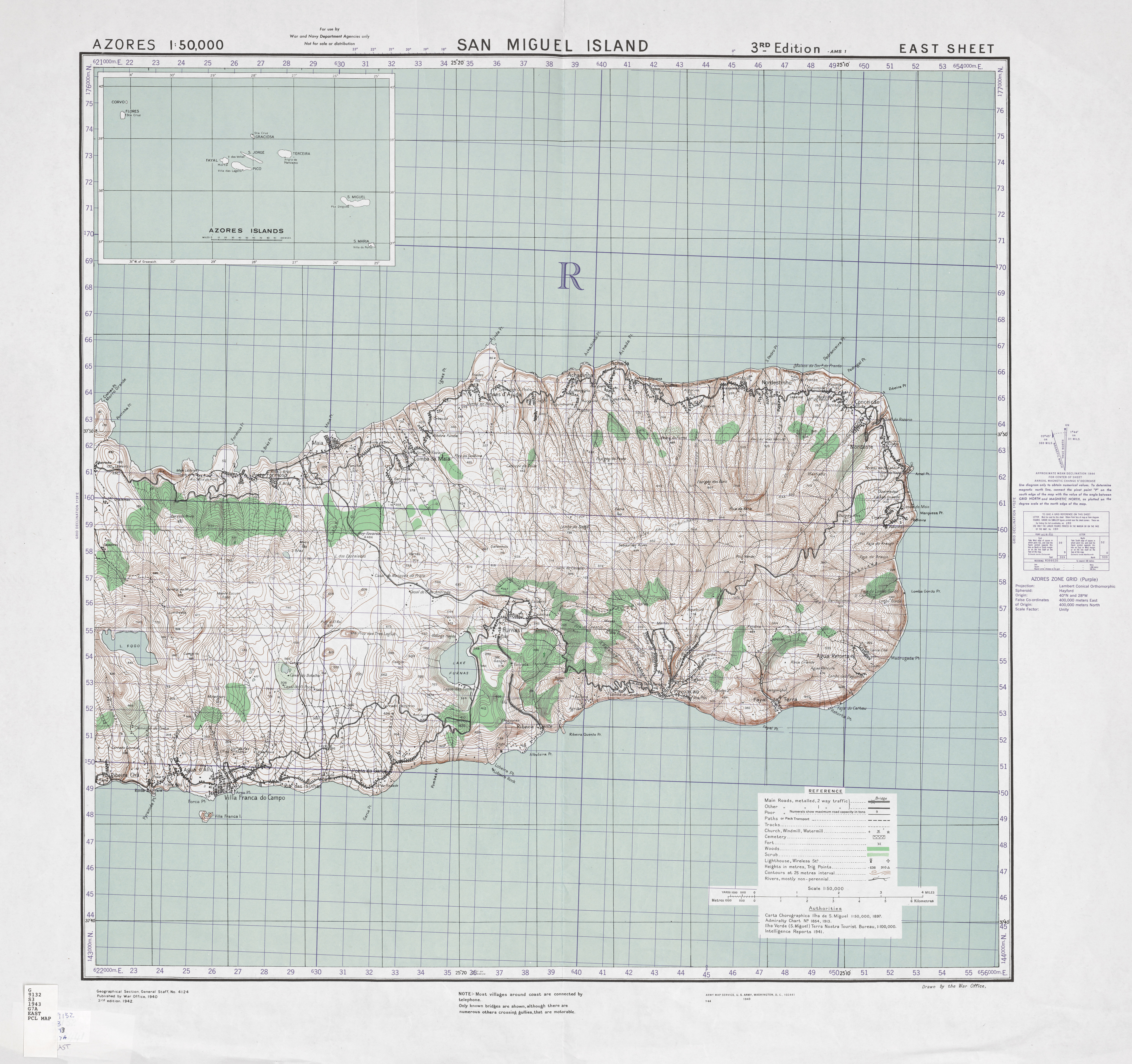
War Office. (1943). San Miguel Island (3rd ed.) [Topographic Map]. U. S. Army Map Service. https://maps.lib.utexas.edu/maps/ams/azores/txu-pclmaps-oclc-6567737-east.jpg
War Office. (1948). Terceira Island [Topographic Map]. U. S. Army Map Service. https://maps.lib.utexas.edu/maps/ams/azores/txu-pclmaps-oclc-6550971-terceira-island-1948.jpg
Warner, D. (2005). Celestial navigation aloft: Aeronautical sextants in the US. http://fer3.com/arc/imgx/Celestial-Navigation-Aloft.pdf
Williams, R. R. (1984). Navigation: From Dead Reckoning to Navstar GPS. Air & Space Forces Magazine. https://www.airandspaceforces.com/article/1284navigation/
Witzel, H. M. (1890). Pilot chart of the North Atlantic Ocean: April, 1890 [Atlas Map]. U.S. Hydrographic Office, Bureau of Navigation, Navy Department. https://www.davidrumsey.com/luna/servlet/detail/RUMSEY~8~1~346747~90114232:Pilot-chart-of-the-North-Atlantic-O?sort=Pub_List_No_InitialSort&qvq=w4s:/where%2FNorth%2BAtlantic%2BOcean;q:atlantic%20ocean%20nautical%20chart;sort:Pub_List_No_InitialSort;lc:RUMSEY~8~1&mi=4&trs=185
Work, R. O. (2004). Naval transformation and the littoral combat ship. Center for Strategic and Budgetary Assessments. https://csbaonline.org/uploads/documents/2004.02.18-Littoral-Combat-Ship.pdf
Downloads
Published
How to Cite
Issue
Section
License
Copyright (c) 2024 Meg Miller; Justiina Taika Salo Devries

This work is licensed under a Creative Commons Attribution-NonCommercial 4.0 International License.
Authors retain the copyright to their work by using Creative Commons licenses. The Creative Commons Attribution-NonCommercial license applies to all content unless authors elect to choose a more restrictive license for their work. If you reuse the content, you must give appropriate credit; you may not use or redistribute the material for commercial purposes.


