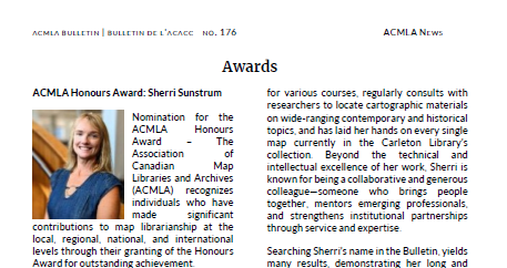
Current Issue
No. 176 (2025): ACMLA Bulletin Summer 2025
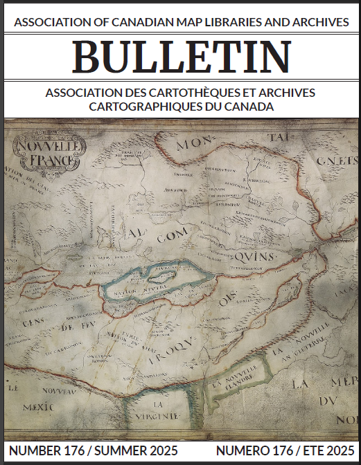
Cover image: "Novvelle France" Map (ca. 1641)
Also known as The Huron Map. While the cartographer is unknown, the National Archives catalogue suggests it was likely drawn by a French cartographer.
“It is the oldest surviving map that attempts to depict all five of the Great Lakes and to represent the location of a significant number of the Great Lakes tribes prior to the dispersals of the late 1640s and the 1650s.” Most inscriptions are in the Huron language, which is the subject of analysis in John Steckley’s 1990 linguistic study (Ontario Archaeology, Vol. OA51, pp. 31–52)
Thanks to Renna Truong for submitting this issue's cover map.
Published:
2025-09-11