No. 173 (2024): ACMLA Bulletin Winter 2024
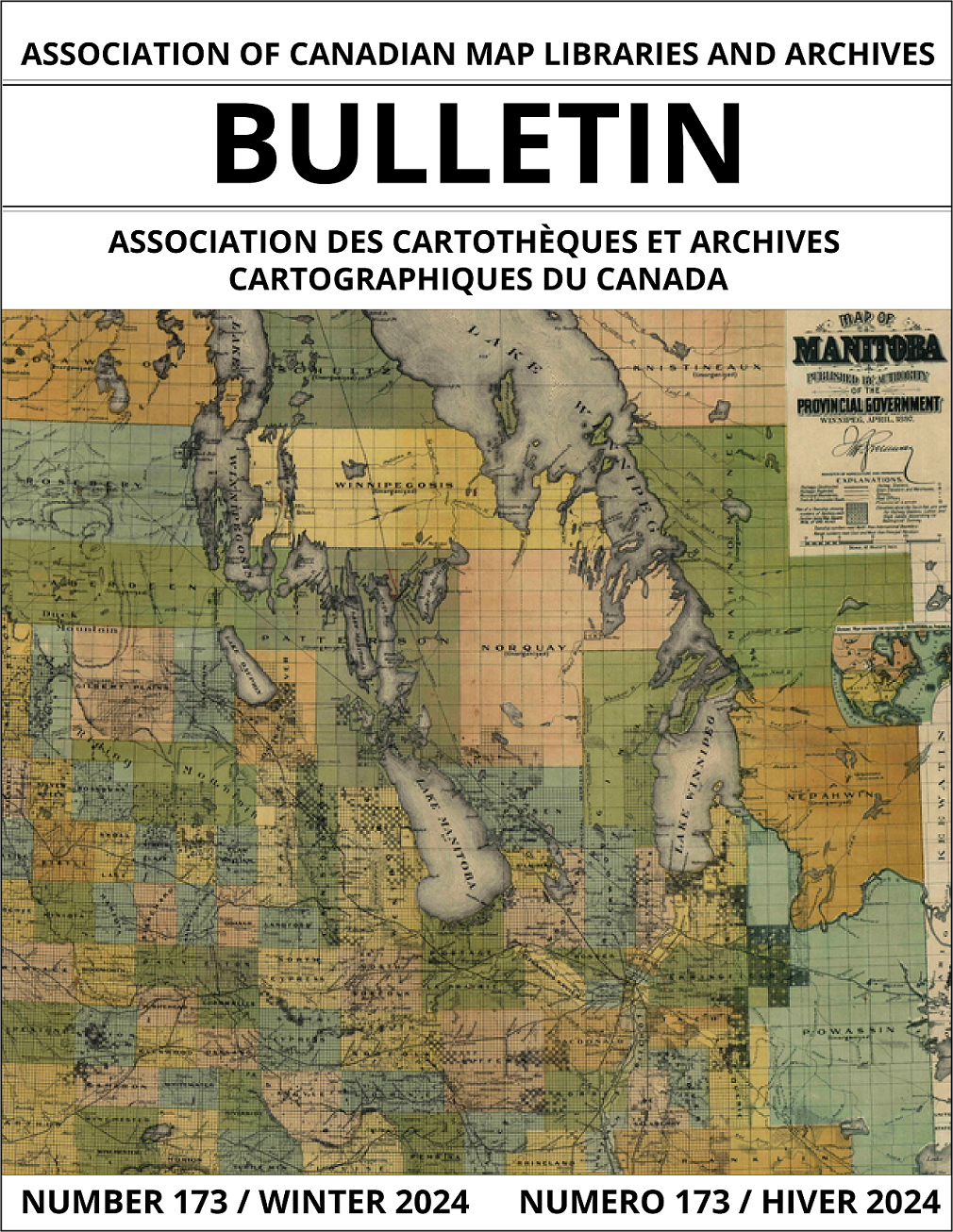
Cover image (left) courtesy of UM Digital Collections @ University of Manitoba Libraries
Map of Manitoba Published by Authority of the Provincial Government, 1897:
Map of Manitoba Published by Authority of the Provincial Government Scale: 12miles = 1 Inch. This 1897 map of Manitoba, published by the Provincial Government, provides a snapshot of the established and emerging features of the province as it enters the twentieth Century. Clearly marked on the map are the locations of schools, post offices, grain elevators and rail stations which are linked through the evolving transportation network of both constructed and projected railway lines. All of these features are clearly back dropped by the multicolored Rural Municipal regions, as they existed in 1897. http://hdl.handle.net/10719/2694618


