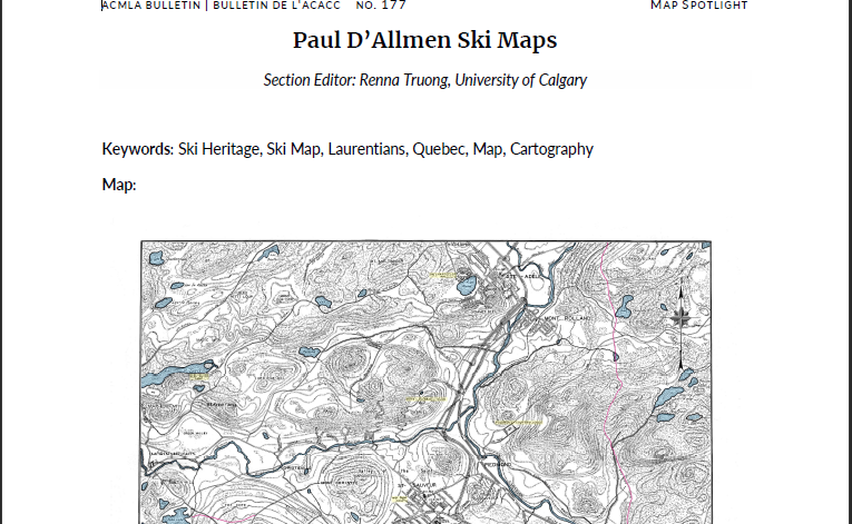
Paul D’Allmen Ski Maps
DOI:
https://doi.org/10.15353/acmla.n177.6993Keywords:
Ski Heritage, Ski Map, Laurentians, Quebec, Map, CartographyAbstract
Paul d’Allmen Ski Maps
Paul d’Allmen (1890–1981) was a Canadian cartographer and skiing enthusiast who played a key role in mapping Quebec’s Laurentians mountain range.
References
Musée du ski des Laurentides. (n.d.). Paul Dallmen. https://museeduski.com/membreshonorifiques/paul-dallmen/
Graham, J. (2016). The lost trails of Paul d’Allmen . Canadian Ski Hall of Fame and Museum. https://skimuseum.ca/wpcontent/uploads/2023/05ISHA-CSHFMCSHWP-2016-2-Paul-DAllmen-Lost-Trails_ma16_kj-SH-JG.pdf
Published
How to Cite
Issue
Section
License
Copyright (c) 2026 Renna Truong

This work is licensed under a Creative Commons Attribution-NonCommercial 4.0 International License.
Authors retain the copyright to their work by using Creative Commons licenses. The Creative Commons Attribution-NonCommercial license applies to all content unless authors elect to choose a more restrictive license for their work. If you reuse the content, you must give appropriate credit; you may not use or redistribute the material for commercial purposes.